As summer approaches and people head off for day trips and holidays, motorists are more likely to be exposed to radar checks. People are more likely to use unfamiliar roads where they do not know where the fixed speed cameras are. Each country also uses mobile radar controls, and various applications make it possible to know where they are located.
So, are there Google Maps Speed Cameras?
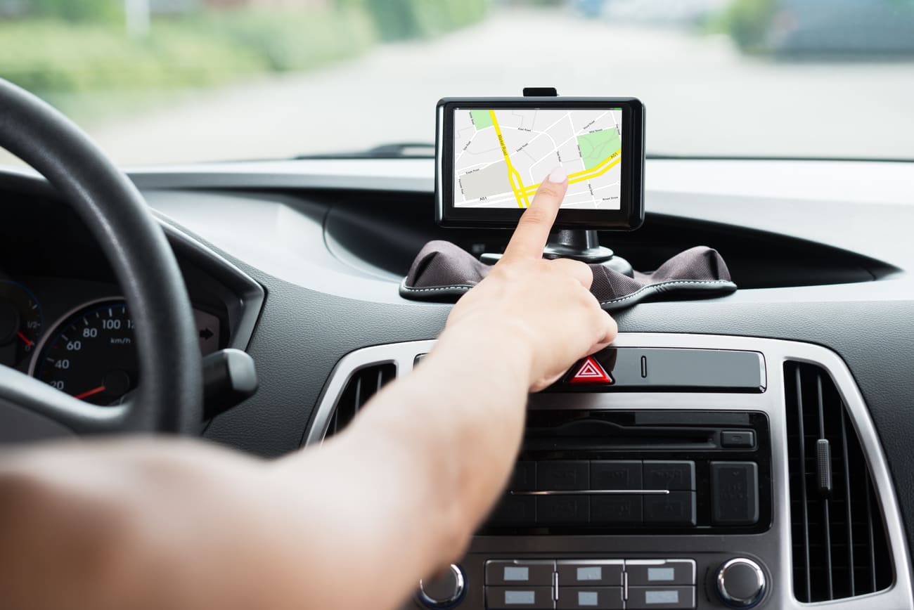
The Google Maps application has been regularly used as a GPS on smartphones while driving since 2008. It only lacked a speedometer, already integrated on similar applications such as Waze, also owned by Google. However, in June 2019, Google started rolling out this new feature in several countries. It now provides several pieces of information on the same interface: navigation data and vehicle speed.
While some users might mistake the speedometer function for speed cameras, Google Maps doesn’t actually offer built-in speed camera alerts. The app can show traffic slowdowns and user-reported incidents, which may include speed traps, but it won’t pinpoint actual camera locations.
Google Maps never offered voice or visual alerts for speed cameras specifically in the UK, or anywhere else for that matter. There may have been confusion about the speedometer function, which shows your current speed, or with news articles about a potential future rollout of this feature. If you’re looking for speed camera warnings, you’ll need a separate app designed for that purpose.
Google Maps Speedometer feature: general information
The Google Maps speedometer function can be quite beneficial, however, it’s important to keep in mind that reliance on any in-car technology, including the Google Maps speedometer, should never replace careful attention to road signs, conditions, and the overall environment. Here are some of its advantages:
- Monitoring your speed in real-time: It gives you real-time info on your current speed, which helps you stay within speed limits and drive safely.
- Keeping up with speed limits: It can help you stay aware of speed limits on different roads, especially if you’re in unfamiliar areas.
- Avoiding speeding tickets: It can also help you avoid getting a speeding ticket by showing you your current speed.
- Feedback for safe driving: Some users find it useful as a reminder to drive safely and legally, which helps them to be responsible drivers.
- Integration with navigation: It’s integrated into Google Maps, so you don’t need to download another app or use another device. It’s convenient for users who already use Google Maps for navigation.
How to activate Google Maps speedometer?
To activate the Google Maps speedometer:
- Open the Google Maps application
- Click on the menu icon at the top left
- Go to “Settings”
- Click on “Browsing settings”
- Scroll down until you see “Driving Route Options”
- Activate speedometer: the button is displayed in blue when the speedometer is active.
Where are Mobile Speed Cameras usually located?
Here are some of the areas where you can find a mobile radar:
- Speed cameras on highways or two-lane roads: These are usually placed on stretches of road where vehicles tend to travel faster than they should. The most common areas where mobile speed cameras are found are very close to cities’ exits, so they are placed about 10 kilometres from them.
- Radar for gear changes: There are specific areas where there are expected gear changes, and you can go from 30m/h to 60 m/h and vice versa. These are ideal locations for mobile speed cameras, which can identify drivers who do not respect the traffic speed of these roads and keep the previous one.
- Speed cameras on bridges: Bridges are places where speed is generally reduced. They are usually found on stretches close to the entrances to major cities.
- Freeway junctions: The authorized speed is generally different from one freeway to another when there are freeway junctions. This must be considered because you cannot go at the same speed on both, so it is a perfect place to install mobile speed cameras.
Speed Cameras on Google Maps: Q&A
Does Google Maps show speed cameras in the UK?
No, Google Maps does not show speed cameras in the UK, or anywhere else.
Does Google Maps have speed camera alerts?
Despite having a speedometer function, it does not provide alerts for speed cameras; rather, it only displays your current speed. While the app offers traffic information, including slowdowns and user-reported incidents, it doesn’t confirm speed camera locations. However, users may come across speed trap reports from other users, which could serve as a general cautionary note but aren’t verified camera positions.
What to do if Google Maps is not showing speed cameras?
Since Google Maps itself doesn’t display speed cameras, there’s nothing to troubleshoot within the app itself for this specific feature.
What are alternatives to Google Maps for finding speed cameras?
- Waze: This app is a popular navigation option owned by Google. Waze utilises a community-based system where users report traffic incidents, including speed traps and mobile speed cameras.
- Sygic is a commercial GPS navigation app available for both Android and iPhone devices and unlike Google Maps, Sygic offers offline maps which you can download for specific regions.
- Radarbot’s primary function is to alert drivers about upcoming speed cameras using a combination of GPS data and a user-reported database. Radarbot can be a valuable tool for drivers who want to be aware of speed cameras and avoid potential fines.
How to use Radarbot with Google Maps
Unfortunately, you can’t directly use Radarbot with Google Maps in a way that allows you to see both apps simultaneously on the same screen. This is because of limitations on how apps can interact with each other on some phone operating systems (like iOS).
To get Radarbot working with Google Maps, first, download and install it from your app store of choice. Next, you can set up Radarbot to send you alerts about speed cameras and any other features you want. Then, open Google Maps and enter your destination to get started. While you’re using Google Maps, just keep Radarbot running in the background. This allows Radarbot to continue providing warnings about approaching speed cameras without interrupting your navigation.
Conclusion
The general recommendation is always to respect the speed limits with your vehicle, not only for your own good but also for that of others. Speed camera warning is perfect for this, but always try to concentrate on driving as safely as possible by following the Highway Code.


Comment